
 Local farmers believe the water over Route M northwest of Breckenridge was the most seen in memory. The bridge is between Waltz Avenue and 302nd Street (Lick Fork Creek). The sign visible during the flood of 1993 was underwater as the area received between six and eight inches of rain Sunday night and Monday, July 31 and Aug. 1. Other highways closed due to flooding were Route B from east of Main Street in Coffey to County Road 242 (Hickory Creek) and Route UU between Route B east of Coffey and Route P east of Jameson (Big Muddy Creek).
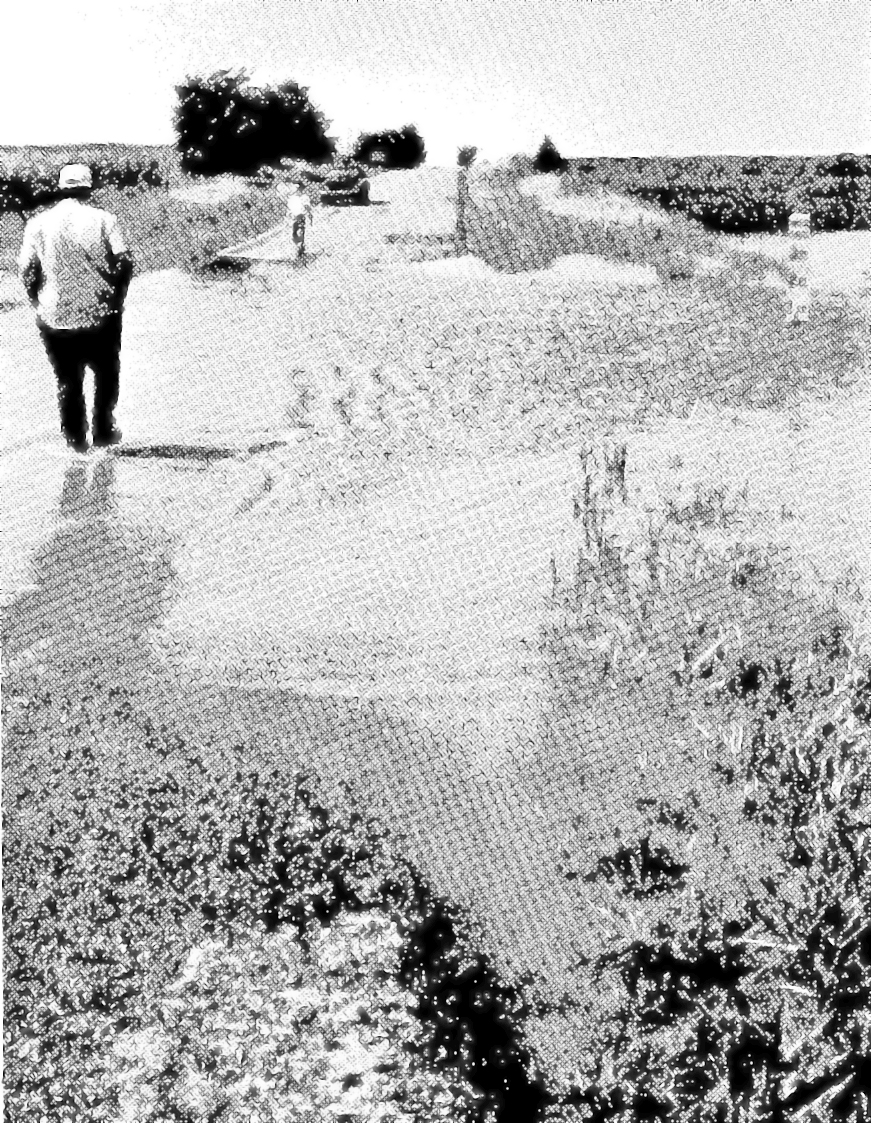
This website brought to you in part by the following sponsor:

Find out how to advertise here - Email us! [email protected]
The National Weather Service warned of flash flooding occurring. The Daviess County Commissioners warned of road tubes had become unstable during the heavy runoff and advised caution.